Although not nearly as visited as the Inca Trail to Machu Picchu in Peru, in Ecuador, you can hike the Inca Trail to Ingapirca (Ecuador’s most preserved archaeological site). In lieu of doing the full 3-day trek from Achupallas, we decided to do a day hike. We took an afternoon bus from Cuenca to Ingapirca, and upon arriving asked about hiking the Inca Trail. We found out it’s even more difficult to do solo than we had thought. We were introduced to a guide named Segundo Flores. He said he could hire a driver to take us to a starting point where we would hike along the best section of trail, and then tour the ruins after (he’s an official guide at Ingapirca). The price was much less than anything we could have arranged with a travel agency. We were in. He would pick us up the next morning at 5:30AM.
We spent the rest of the afternoon walking around Ingapirca, then enjoyed a nice dinner at Posada Ingapirca.
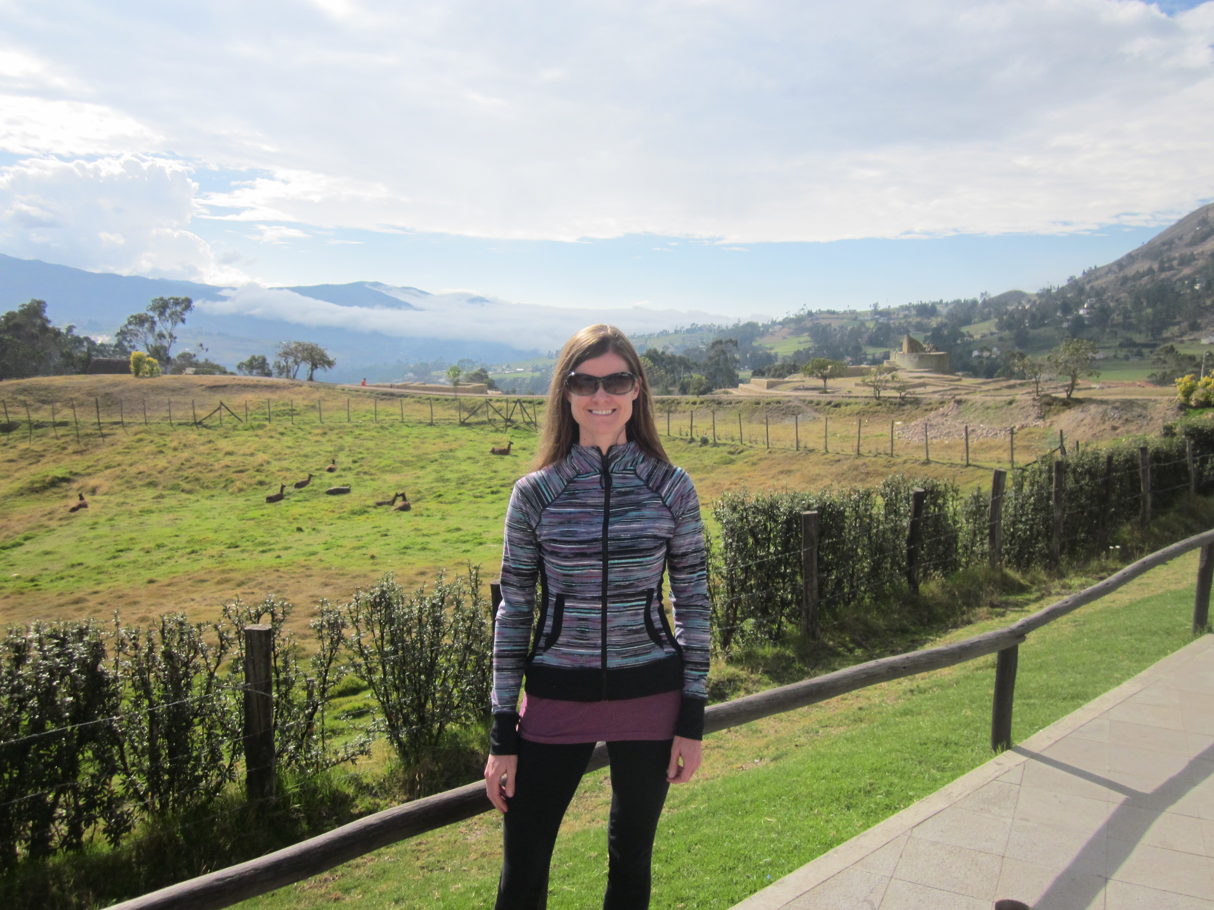
in ingapirca, a field of domesticated llamas behind me
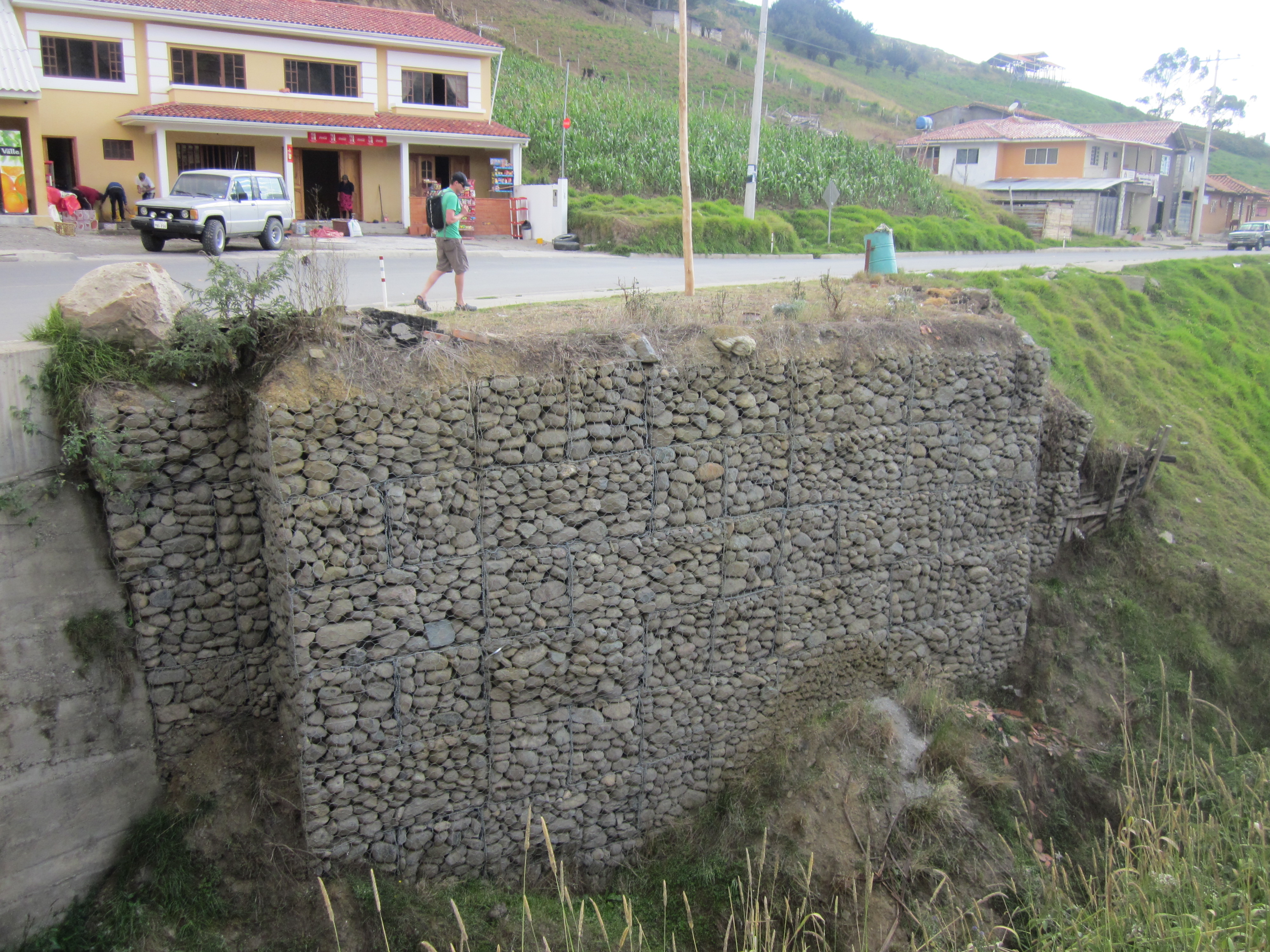
a gabion retaining wall, we just put one of these in at our house and have been seeing them all over Ecuador

the town of Ingapirca, as seen from the ruins
The next morning, a 4×4 truck was waiting for us at 5:30AM to take us to the start of the hike. The drive took about an hour. Along the way, we enjoyed a beautiful sunrise.

wow!

we drove through an area where fighting bulls are raised…this particular bull didn’t want to get out of our way, but eventually did
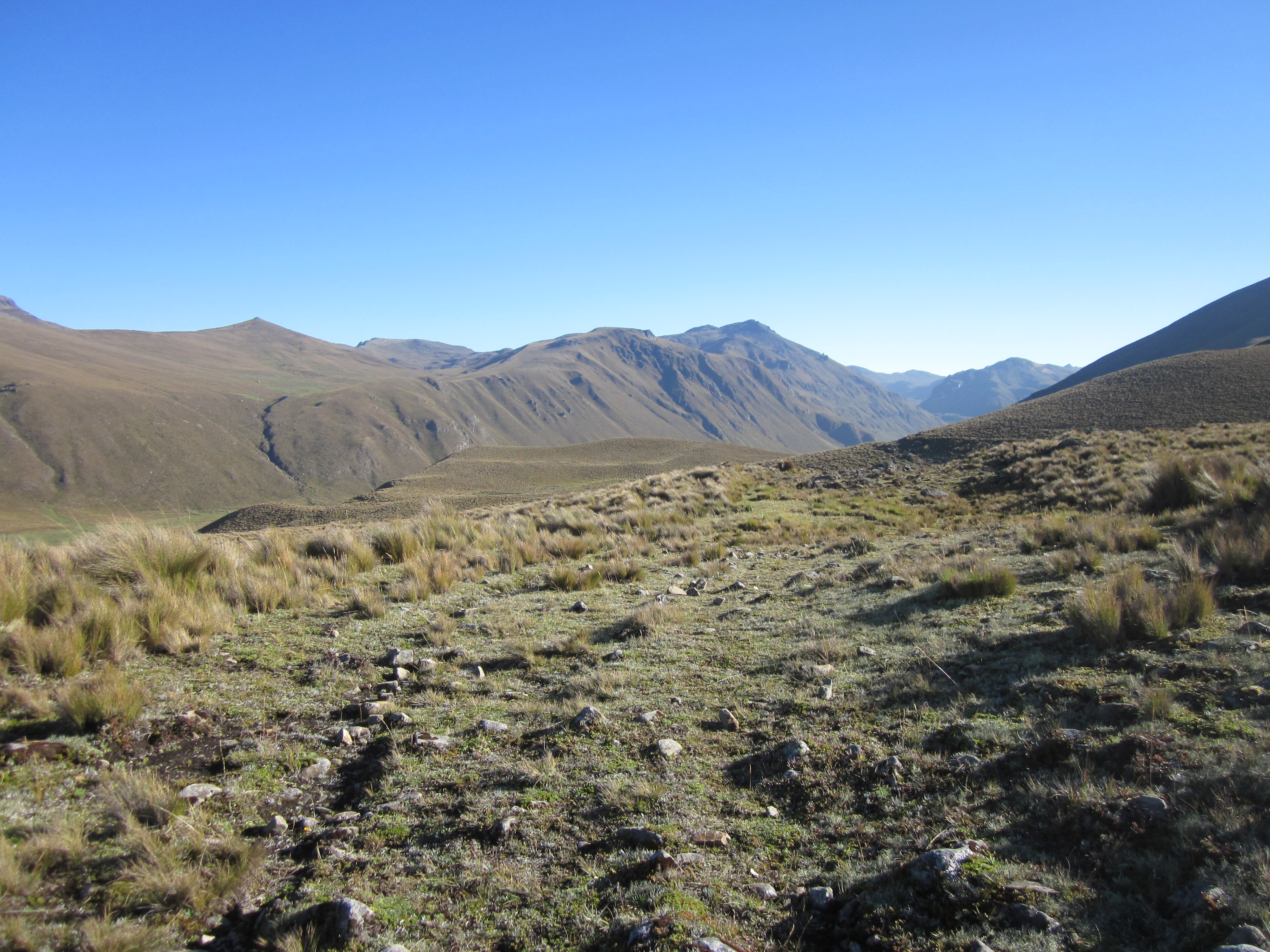
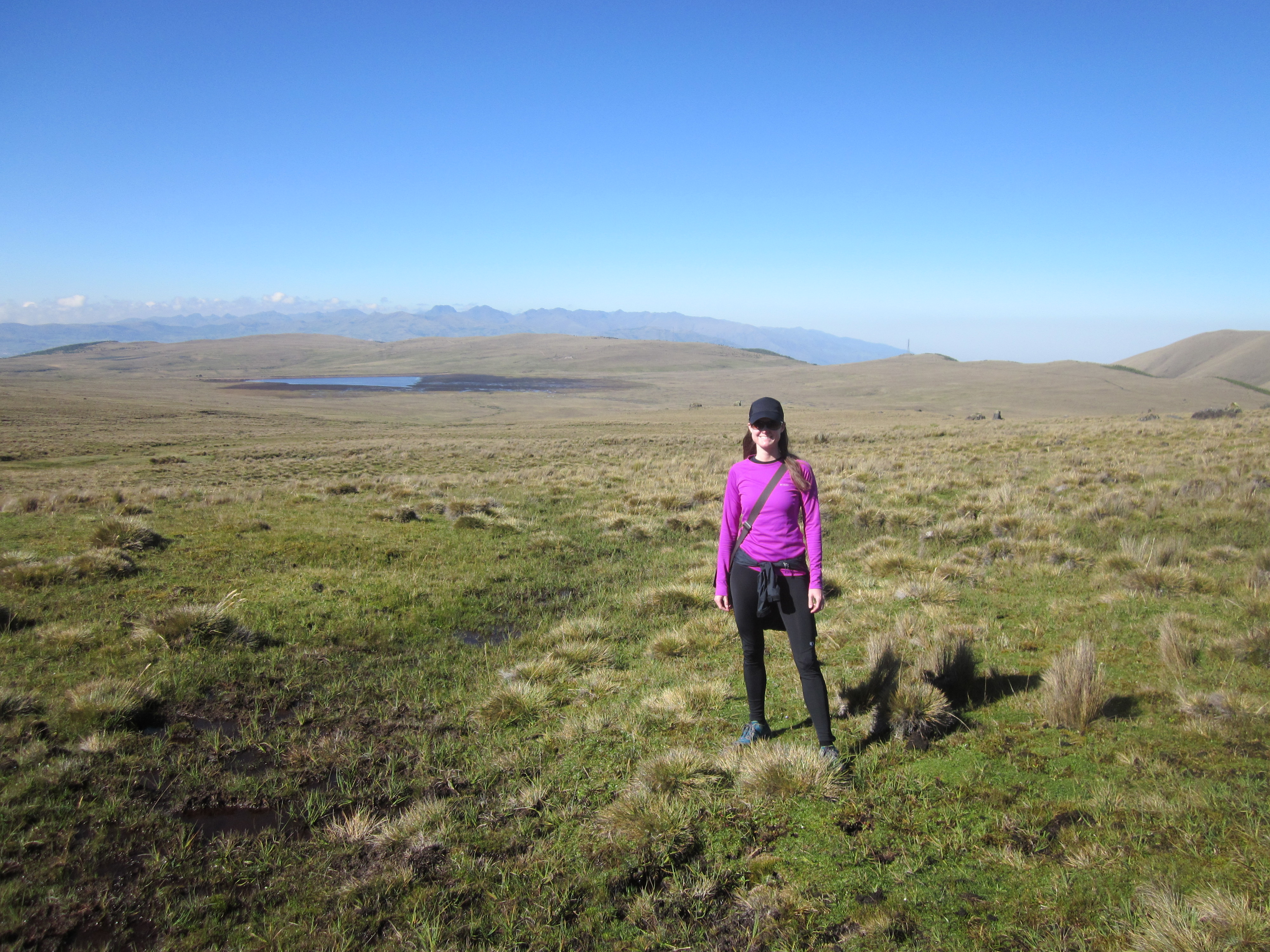
The hike started at Laguna Culebrillas in Parque Nacional Sangay, which sits at an elevation of about 12,000 feet. We arrived at Laguna Culebrillas about 6:30AM. It was a cool, clear morning.

at the start of the hike with our guide Segundo
The sun was behind the mountains the first hour or so of the hike, so it was chilly. Our guide told us it is normally colder, and can be rainy, so we definitely got lucky with the weather. We walked along the lake, then up to a viewpoint (that small white structure in the upper right-hand corner of the following picture).
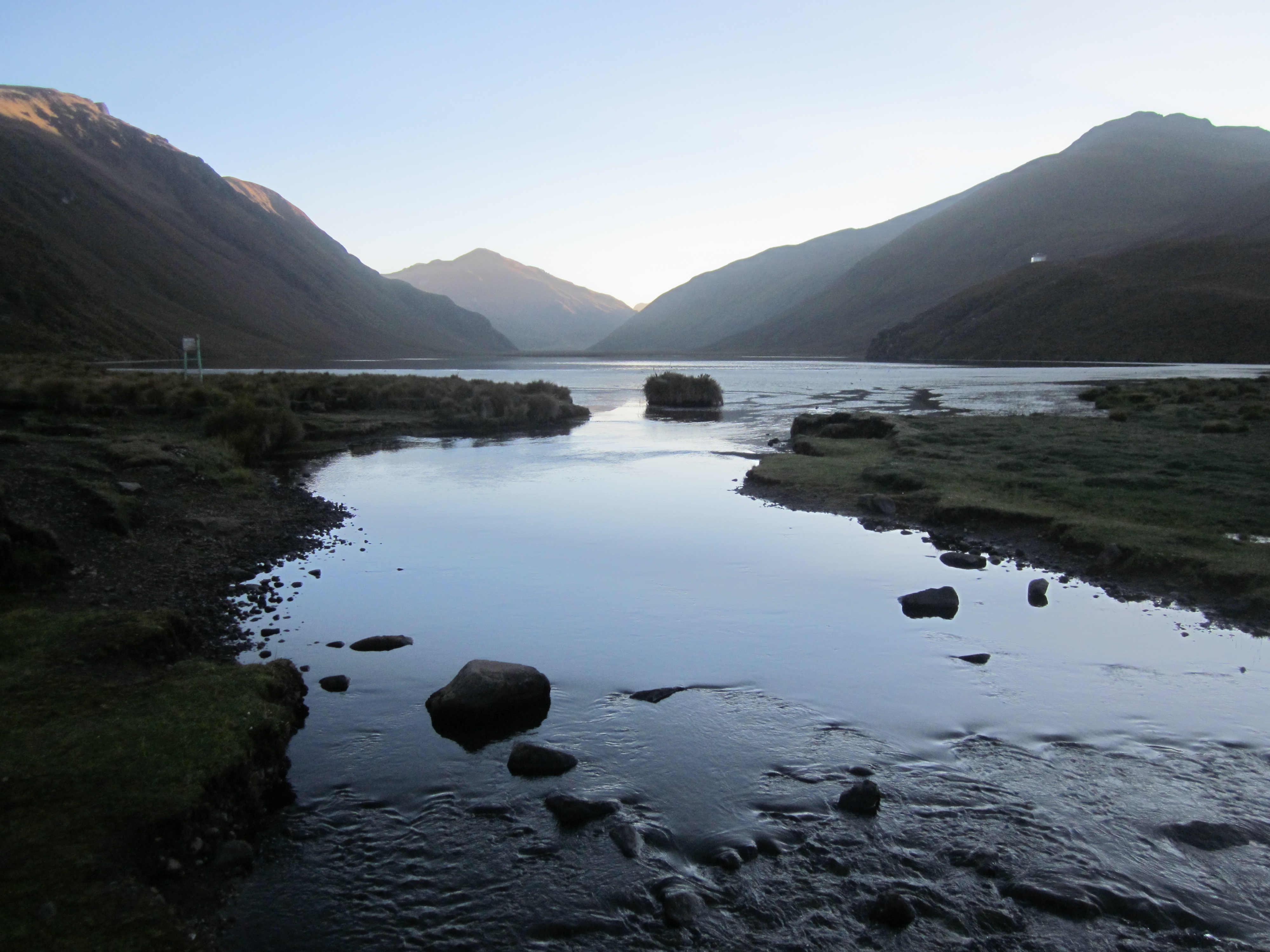
Laguna Culebrillas
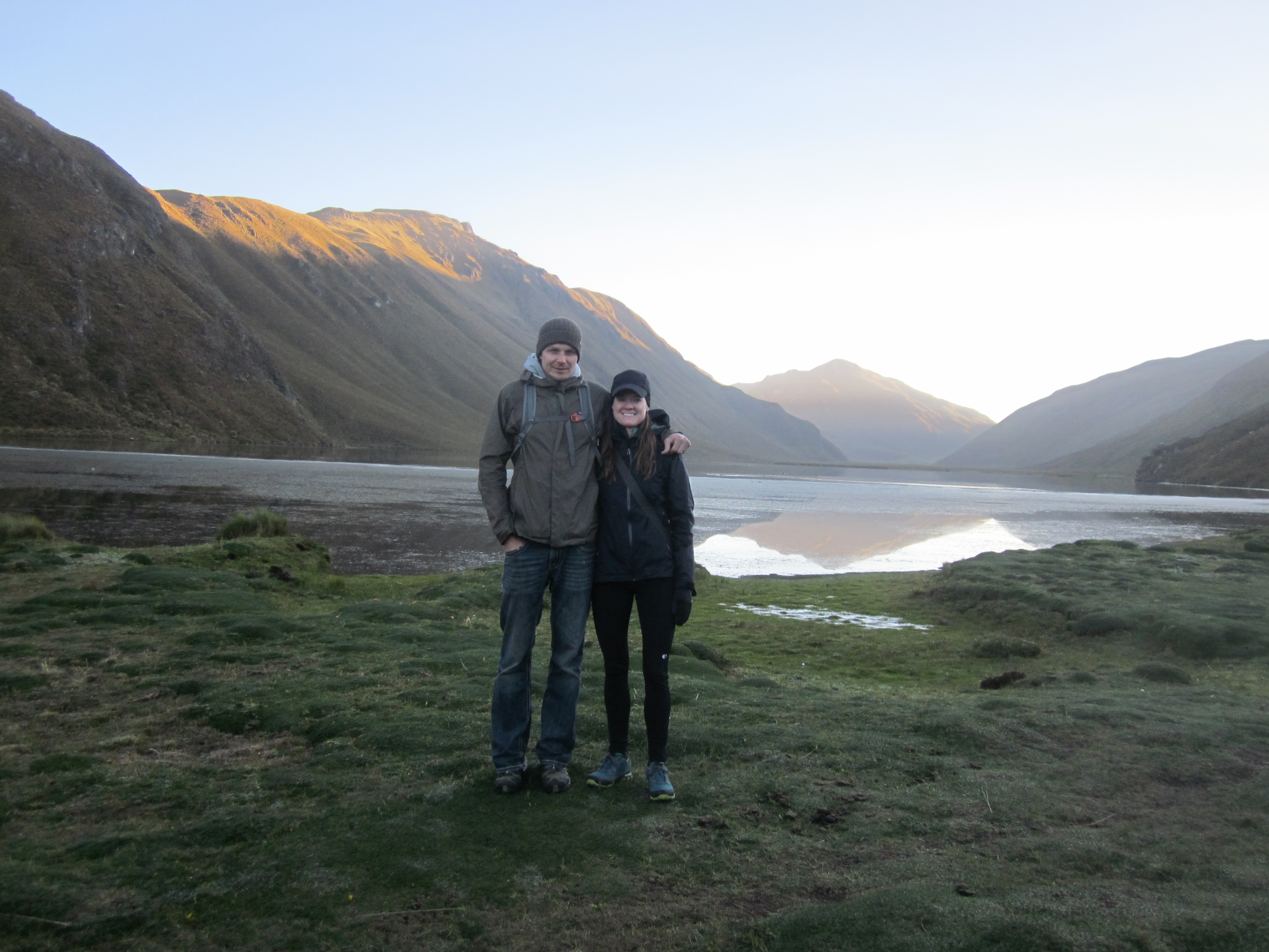
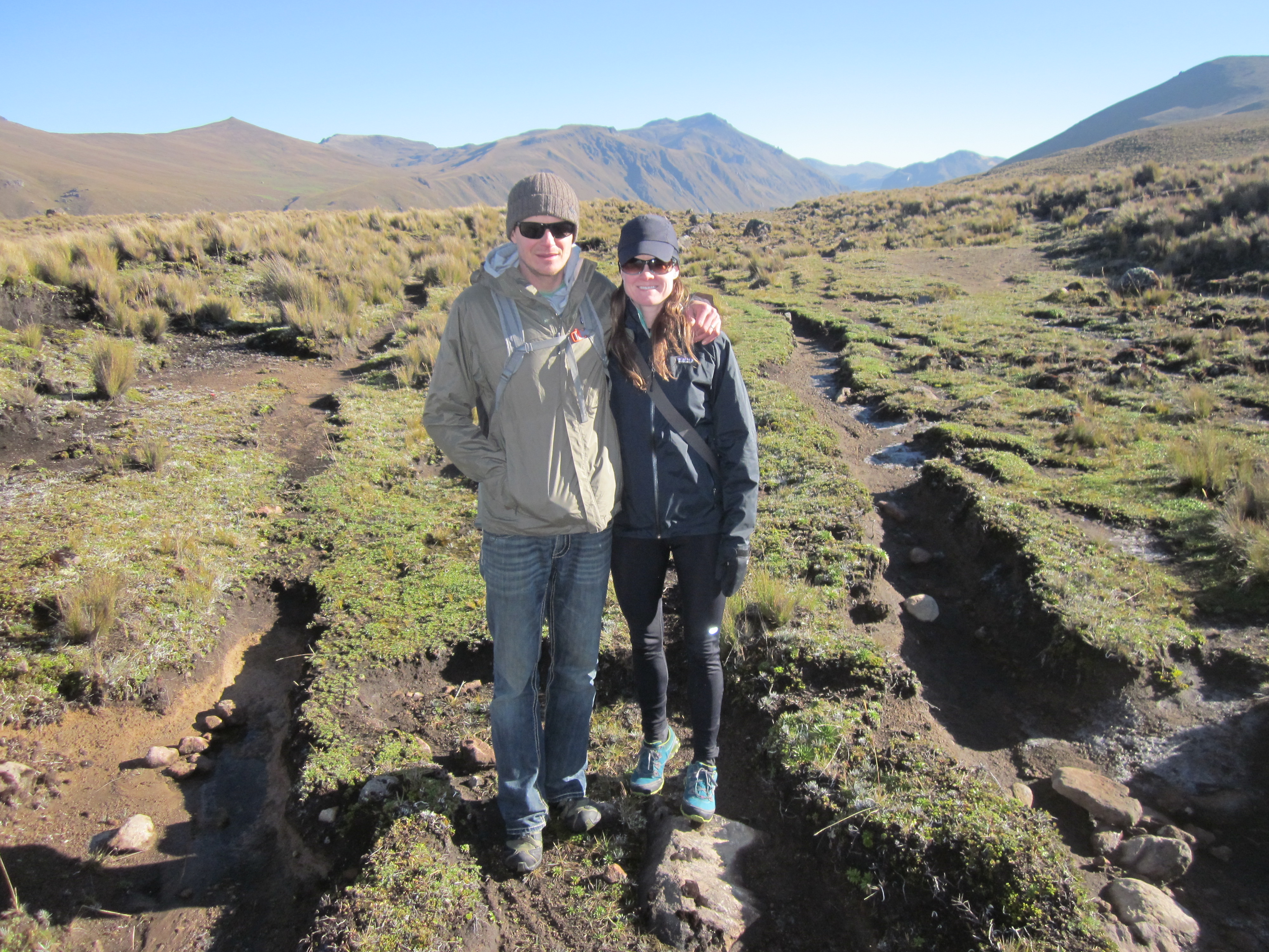
a bonus to having a guide…someone to take pictures of us together
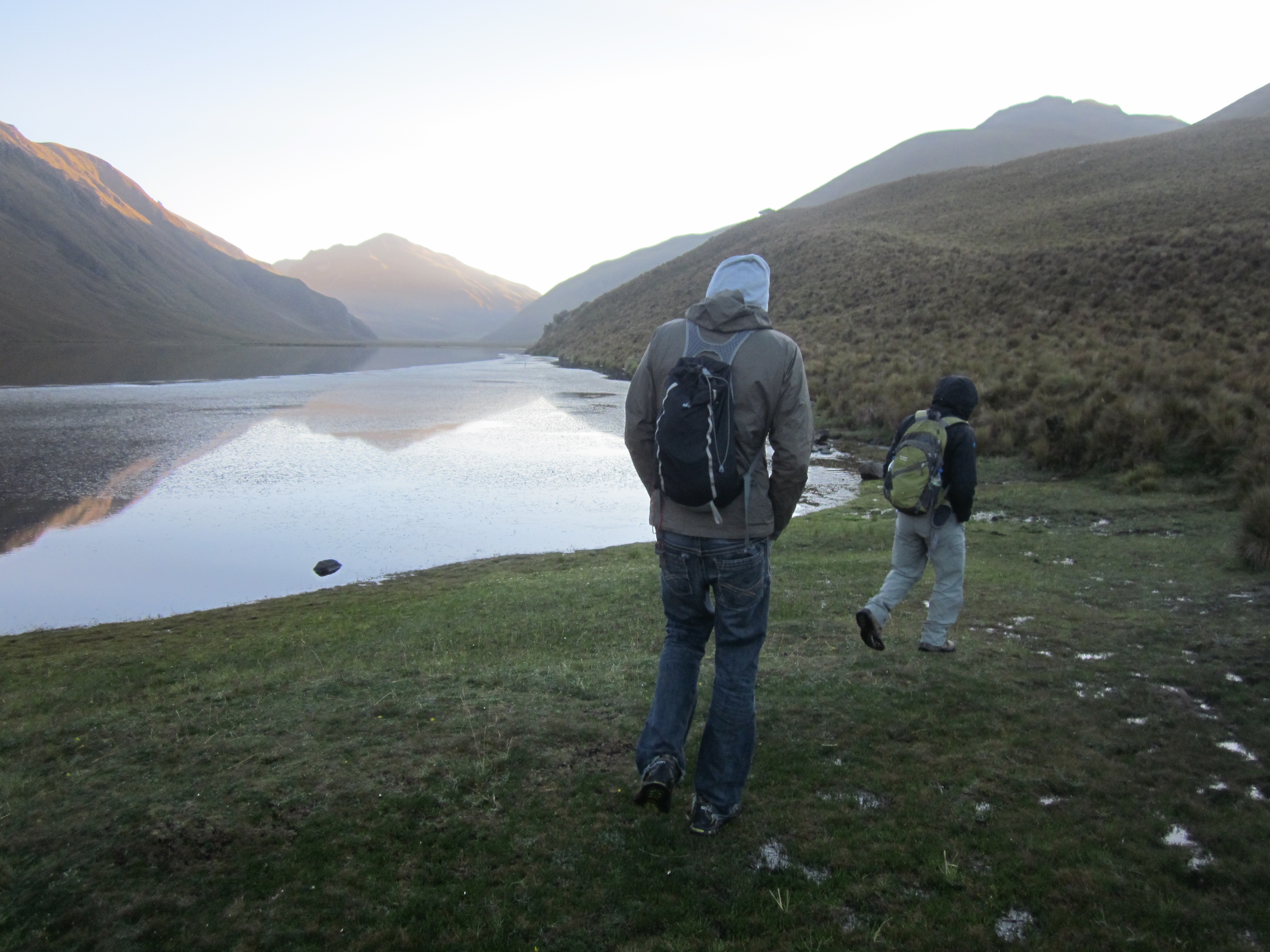
walking along the lake
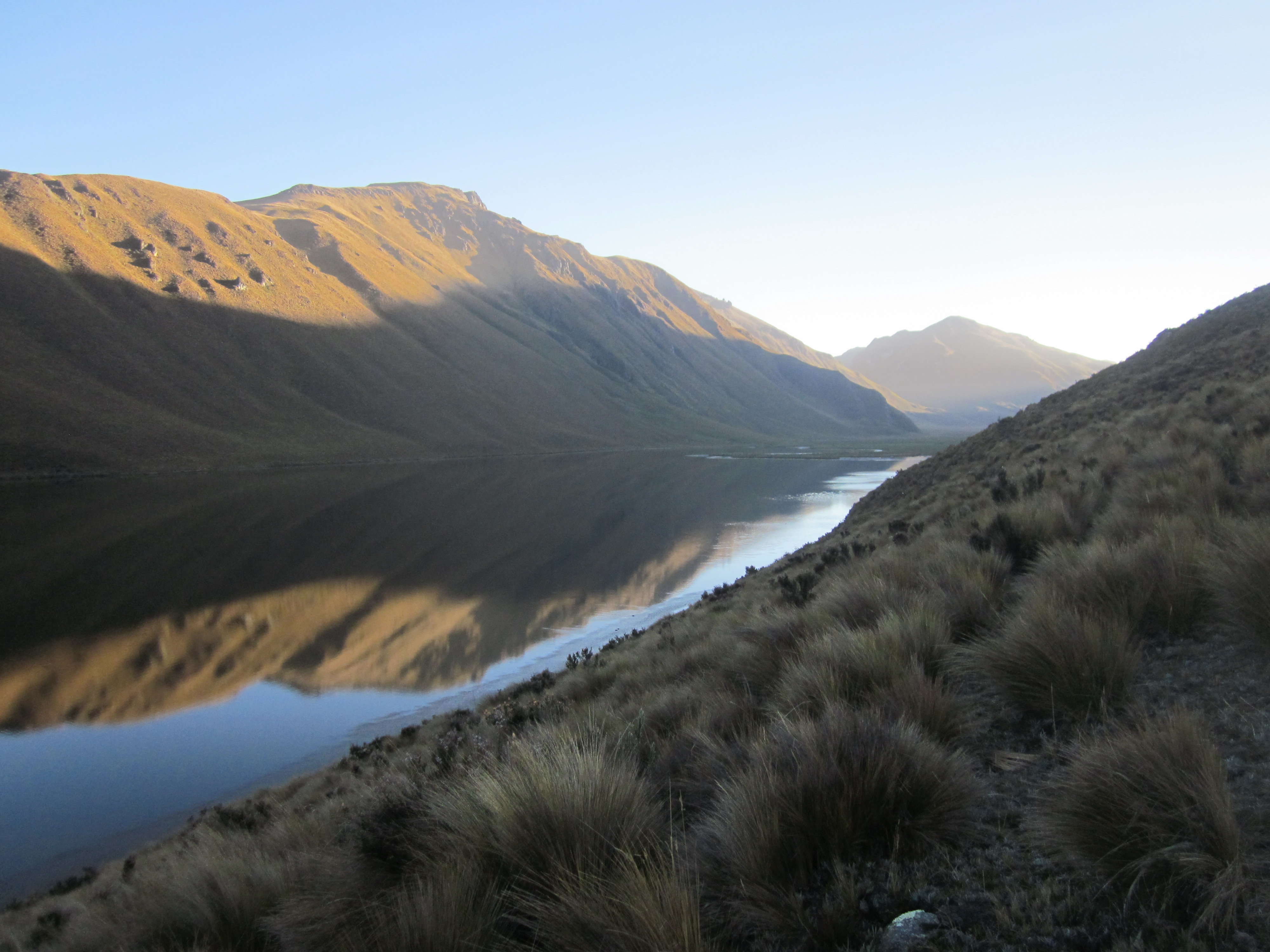
clear, sunny skies created a beautiful reflection of the mountains onto the water
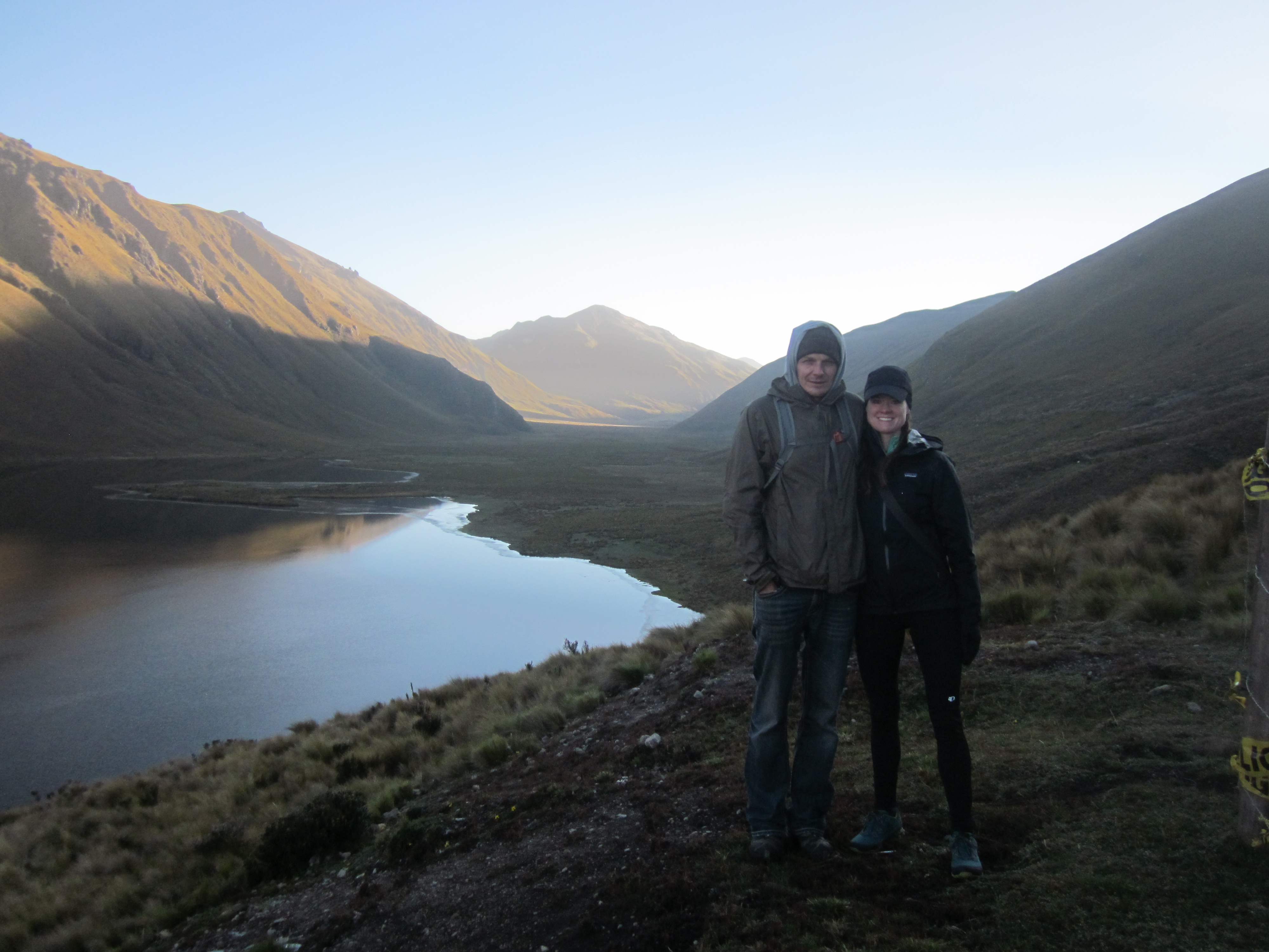
at the viewpoint
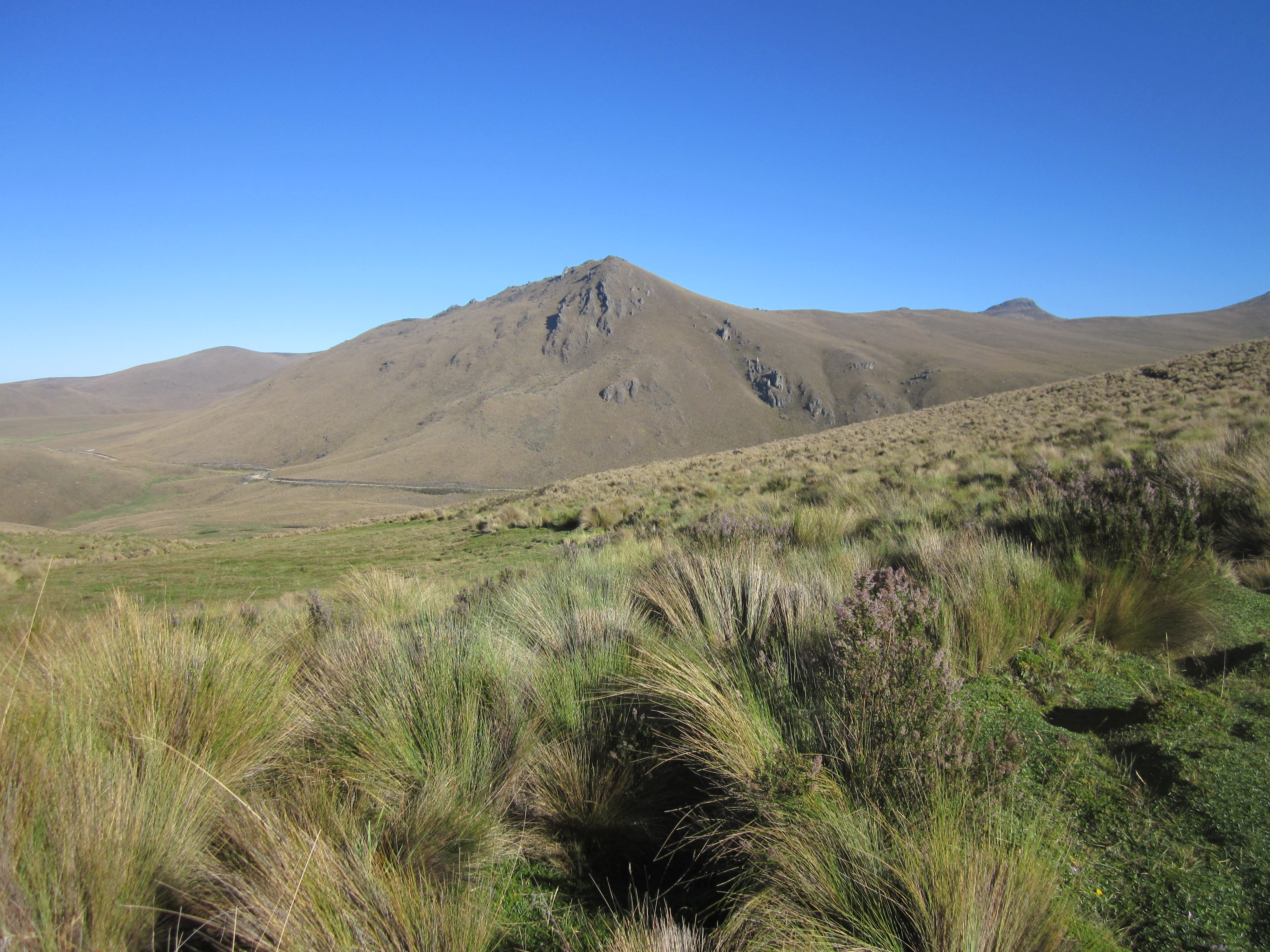
A short while after leaving the viewpoint, we were on the Inca Trail. This section of the trail is the original Ingañan Incan royal road. Back in its prime, this transportation and communication network rivaled that of the Roman Empire.

the inca trail approaching Paredones
making our way along the inca trail
We walked on the Inca Trail and reached a large structure at Paredones. Segundo explained that it was used as a place to stay by runners, who would deliver messages across the Incan Empire in a relay style…with a message attached to their wrist and passed along to the next runner.
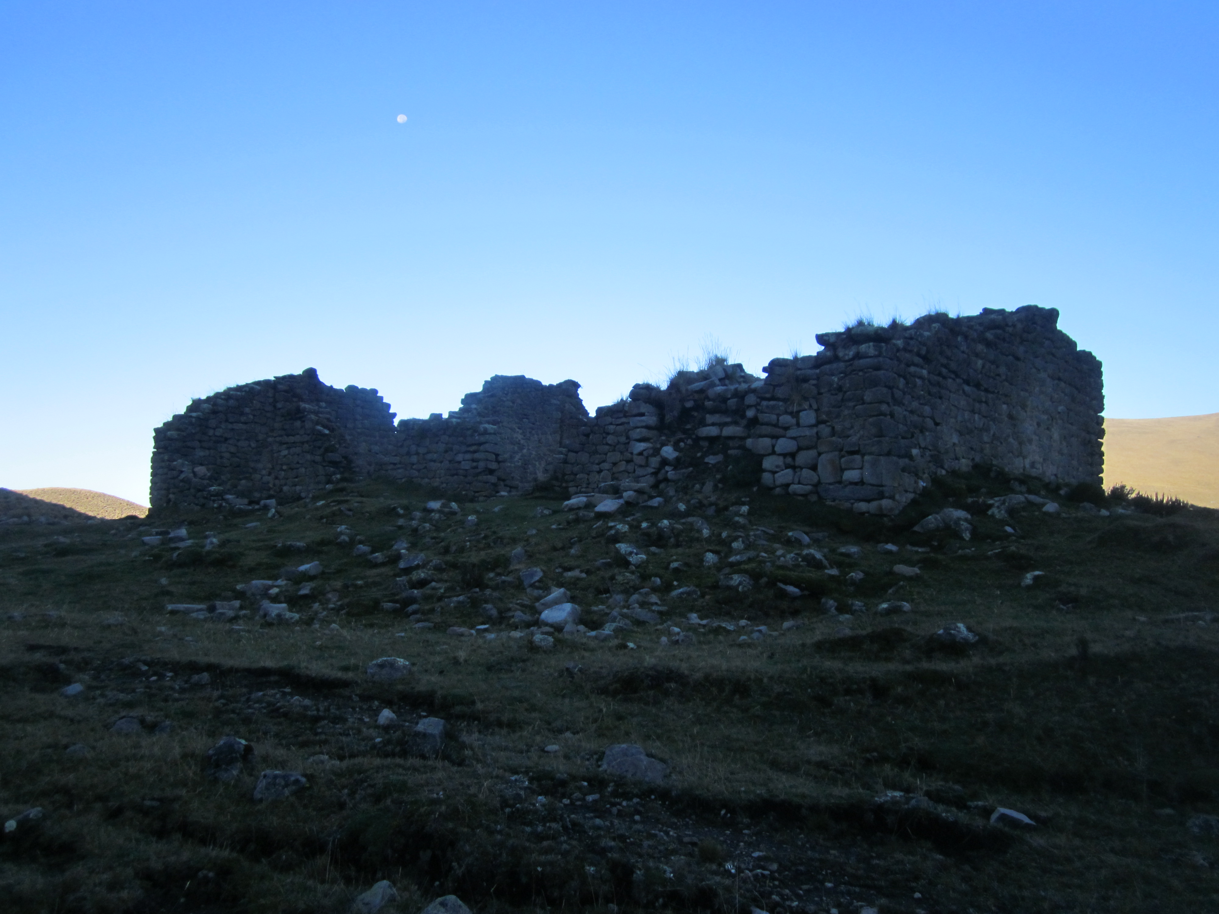
at Paredones with the moon still in the sky
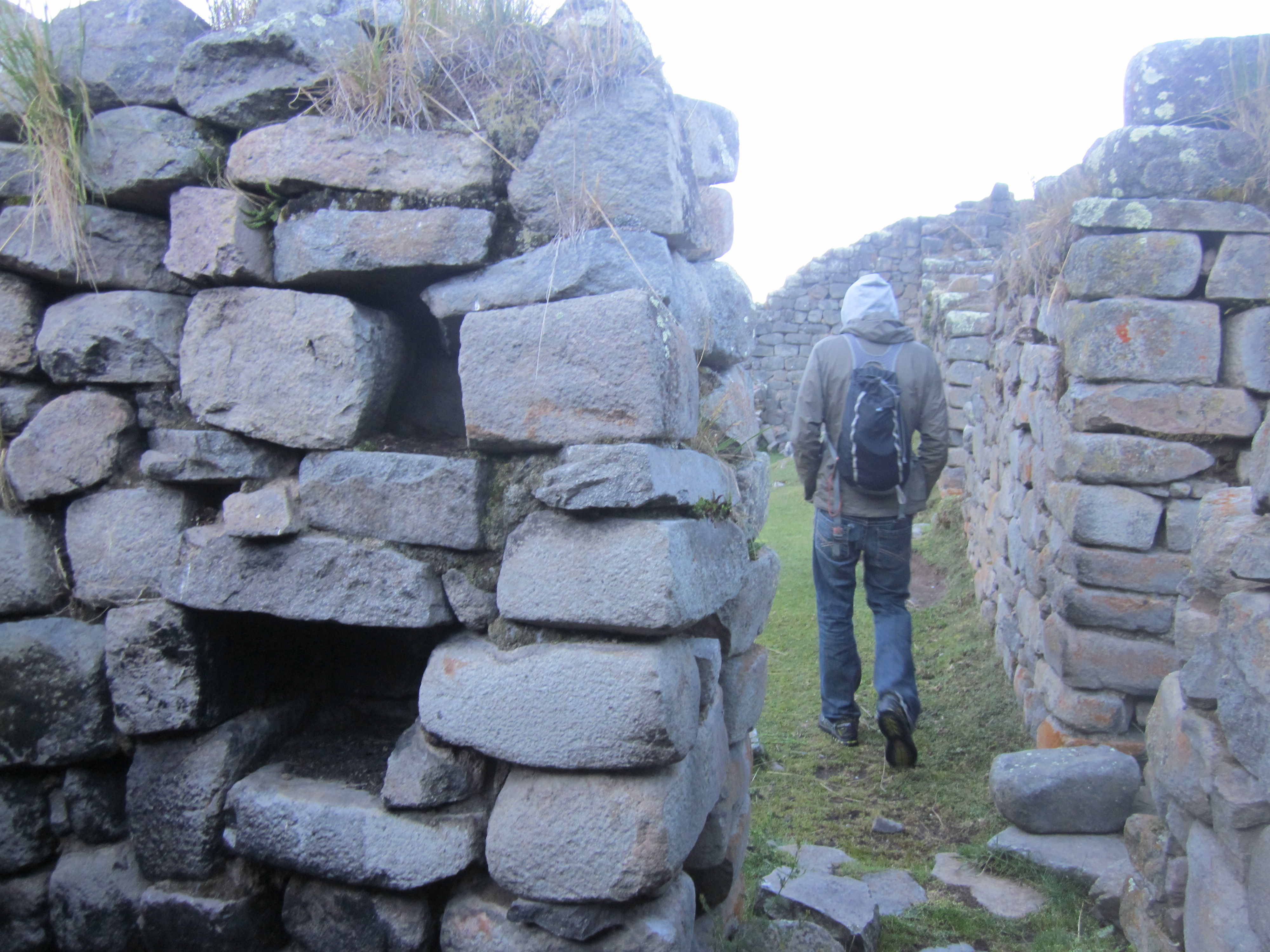
exploring inside

Paredones
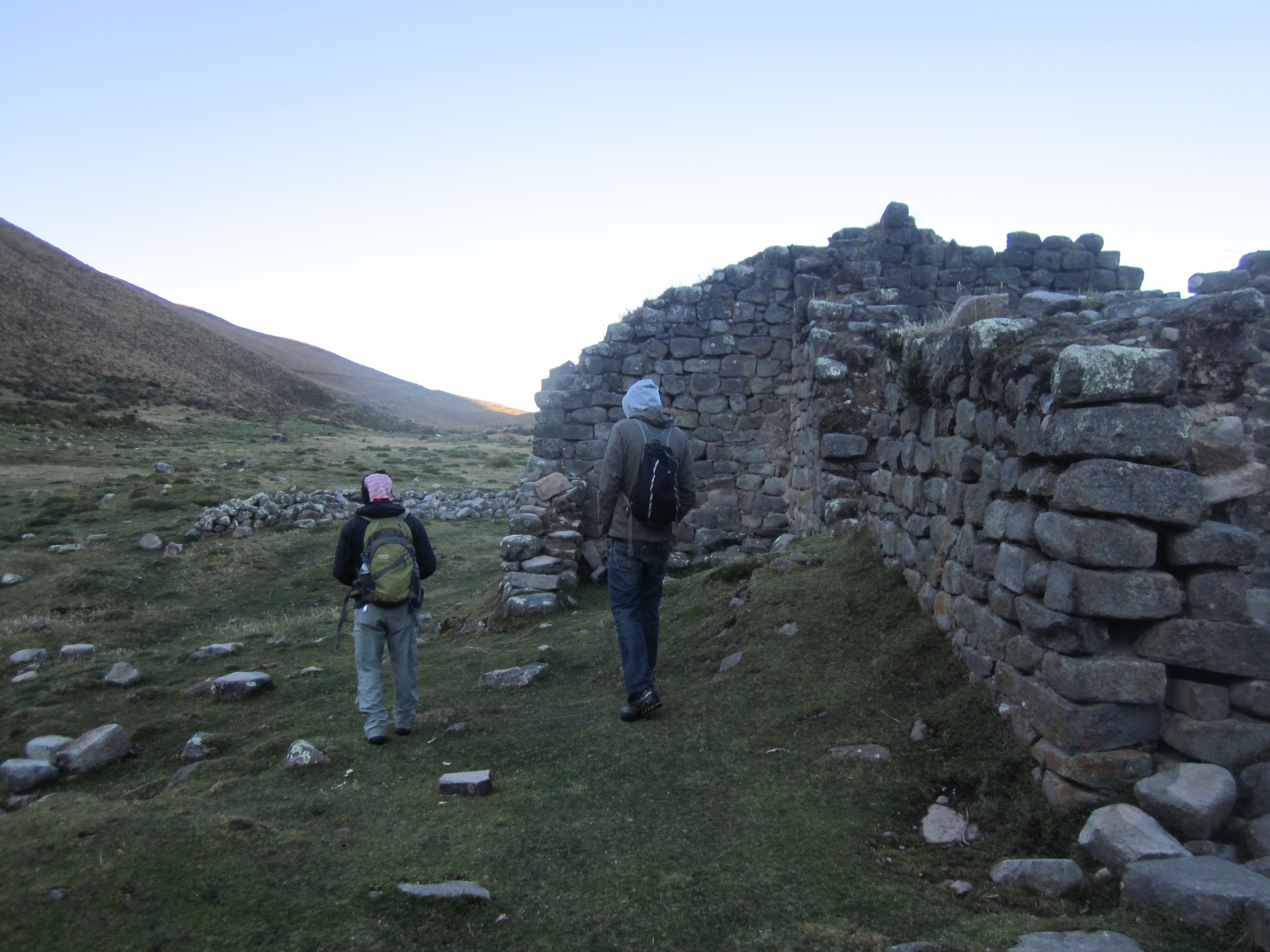
continuing on…
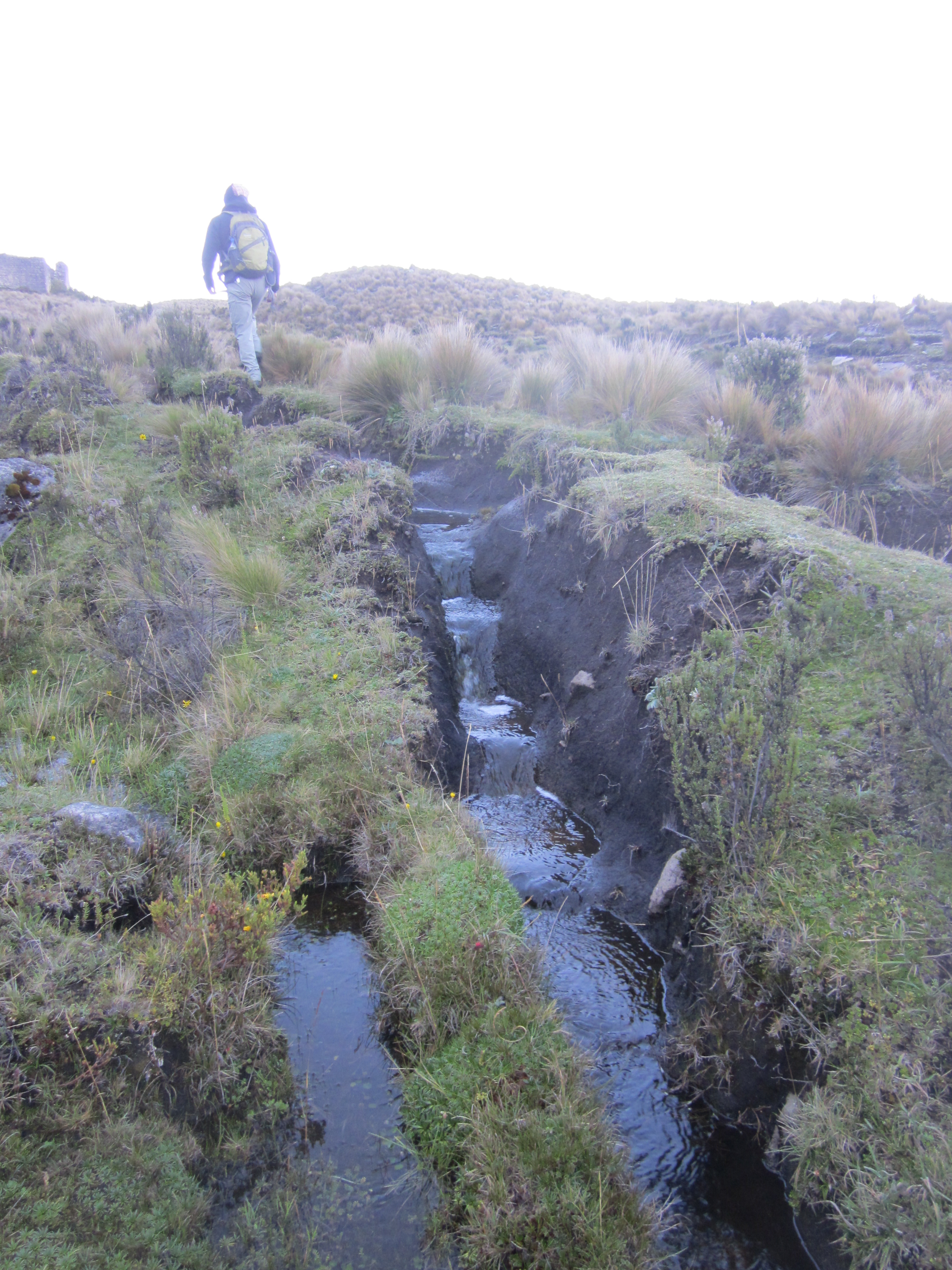
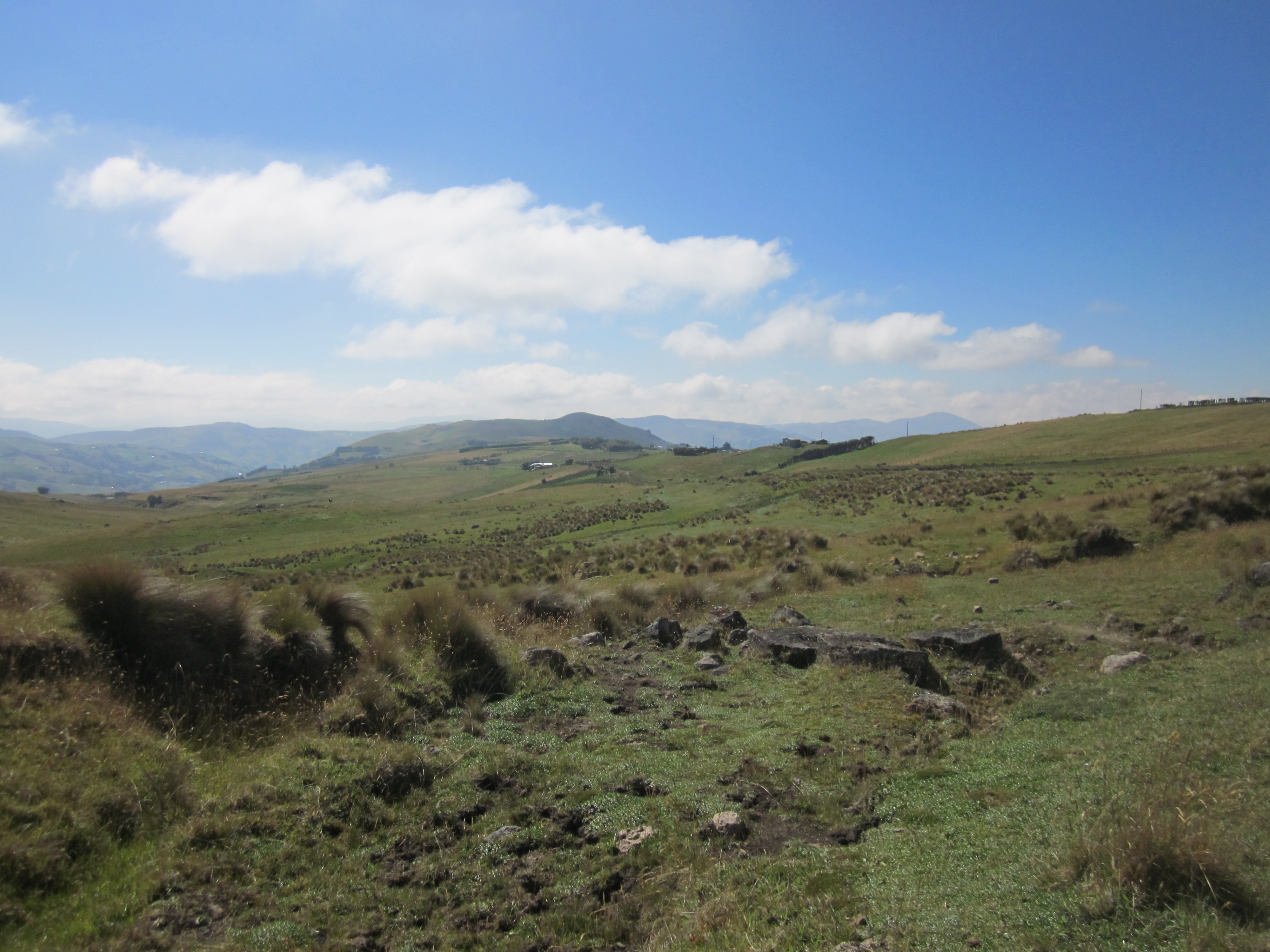
We continued along the Inca Trail. Although this section is the most intact, there were still stretches where the trail wasn’t clear. Even with GPS and a map, I imagine we would have gotten lost if we have tried to do this without a guide. Plus, Segundo gave us a lot of insight into the history of the place, and how the road was built and used by the people. He pointed out the aqueducts, built by the Incas, which are still in use today.
scenery along the inca trail
crystal clear skies
on a well defined section of the inca trail
it’s starting to get warmer with the sun shining down
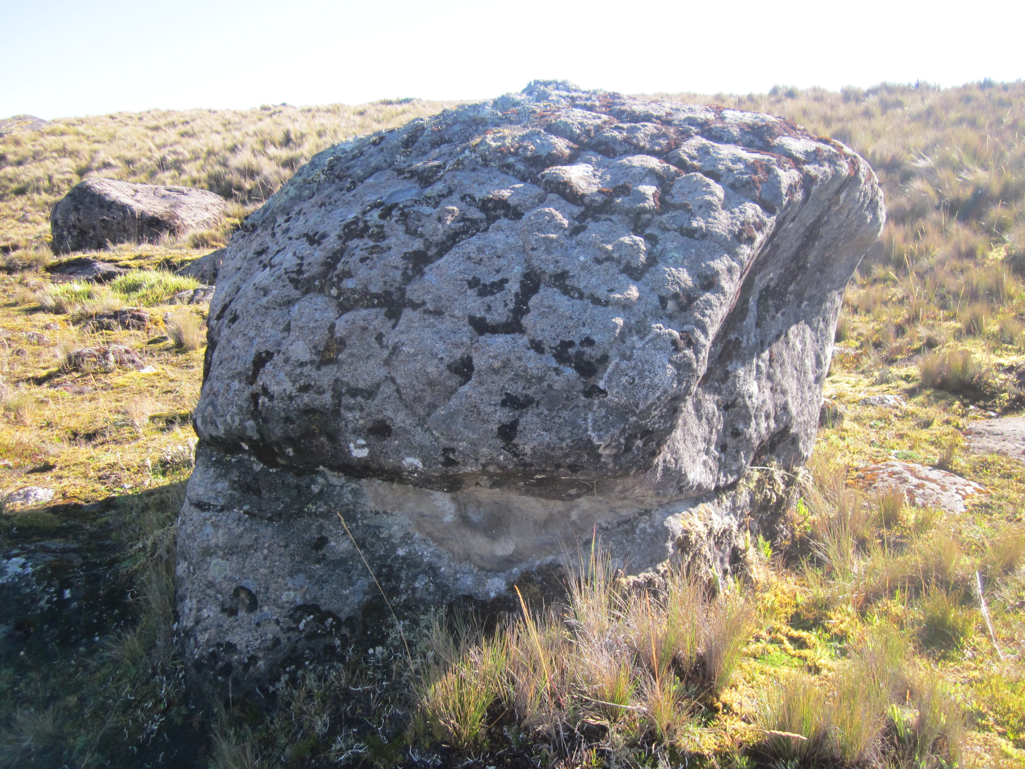
tortoise shell rock
Did you know the Inca Trail spans six countries? It’s fascinating to think about what it must have been like.
views of the lake and mountains below

if you look close, you can see the inca trail stretching out behind us

our enthusiastic guide, Segundo Flores

remaining stones of the Incan royal road
At one point, an eagle was soaring above us in circles, obviously on the prowl.

watching an eagle soar above us

so serene
so peaceful
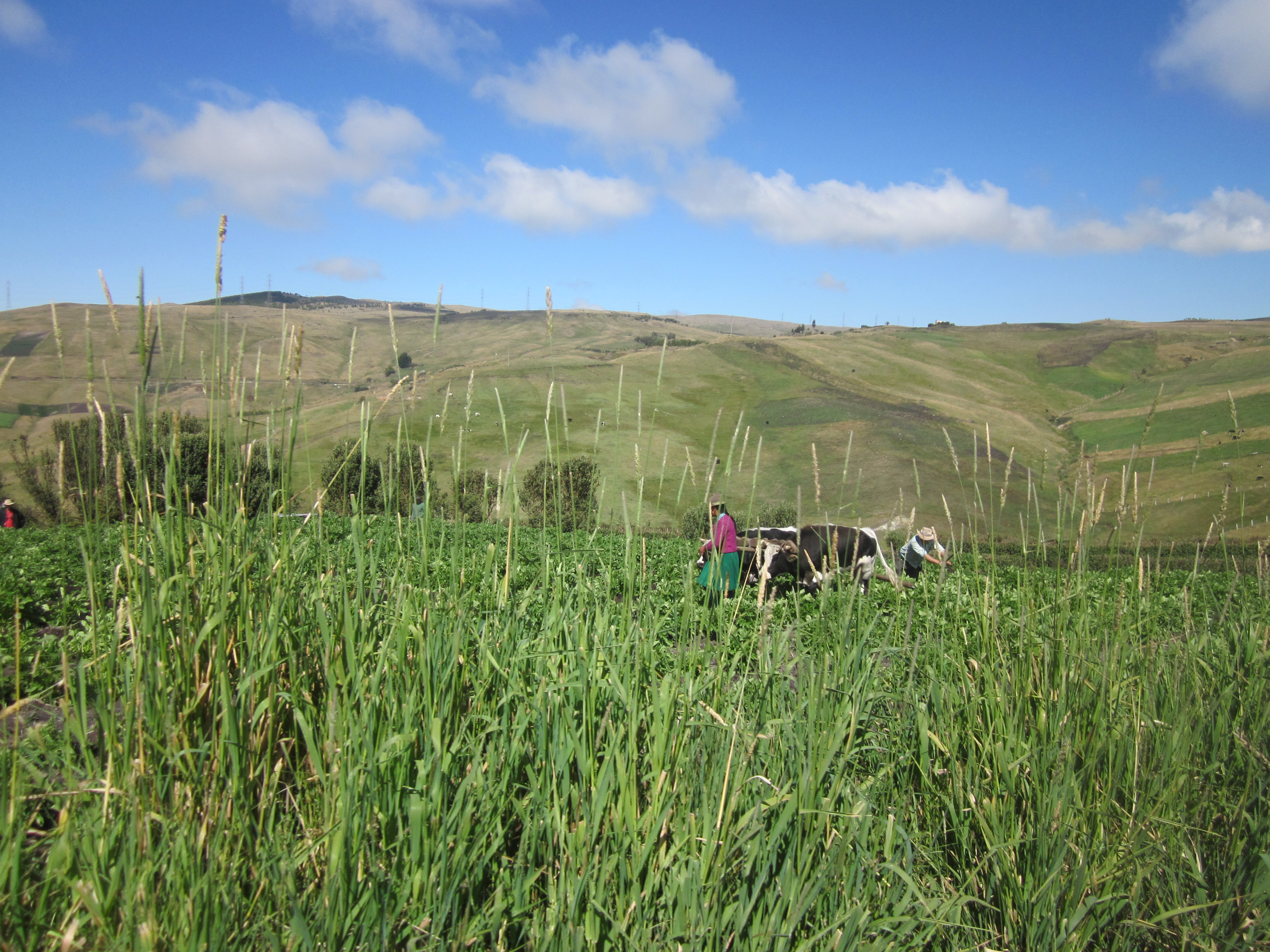
Toward the end of our hike, we were walking through beautiful farms. The indigenous people who make their living farming were very friendly, always smiling and waving.
one of many farms, these cows were yoked!
Segundo explained that the farmers used to grow more crops, but now they mostly have cows, as their milk is more profitable. The farmers sell the milk for $0.40 a liter. We saw many trucks carrying huge milk tanks.
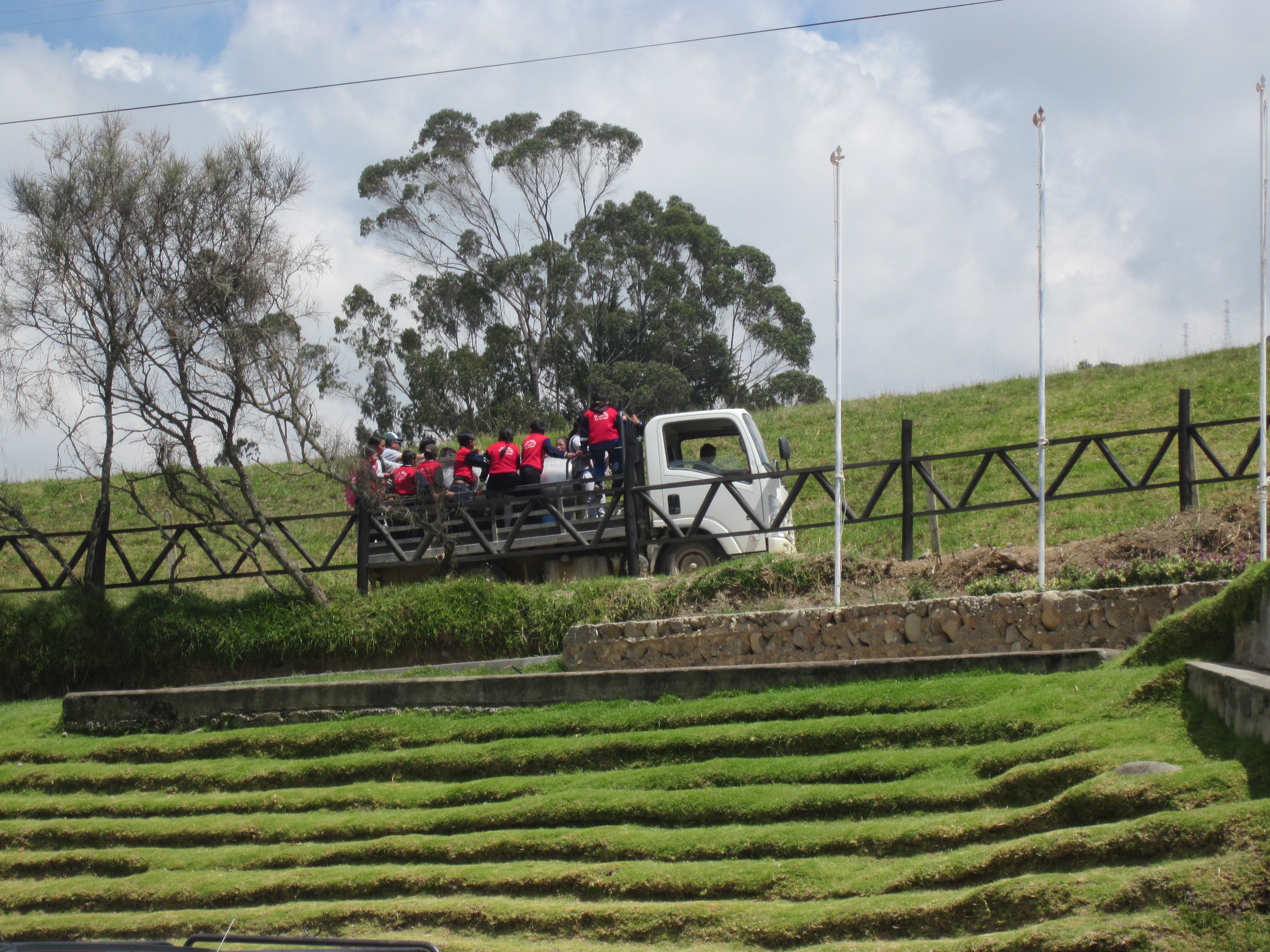
truck with a large silver milk tank on the back (although you can hardly see it as the school kids are riding on back)
When we reached a road, our driver was waiting to take us the rest of the way back to Ingapirca. The views along the way were stunning.

views from the truck ride down

beautiful farmland

unloading back in Ingapirca…we picked up several indigenous farmers on our way down
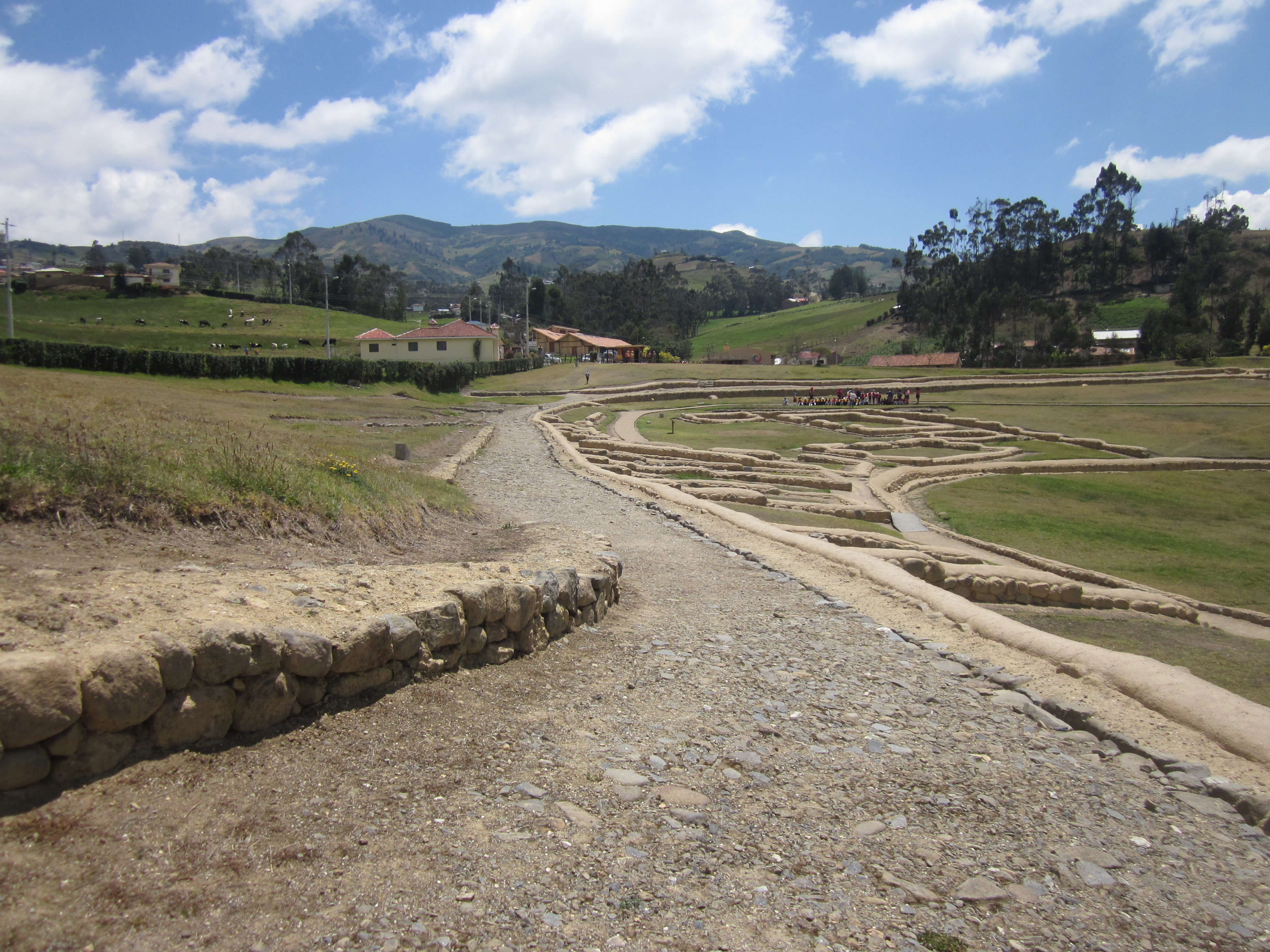
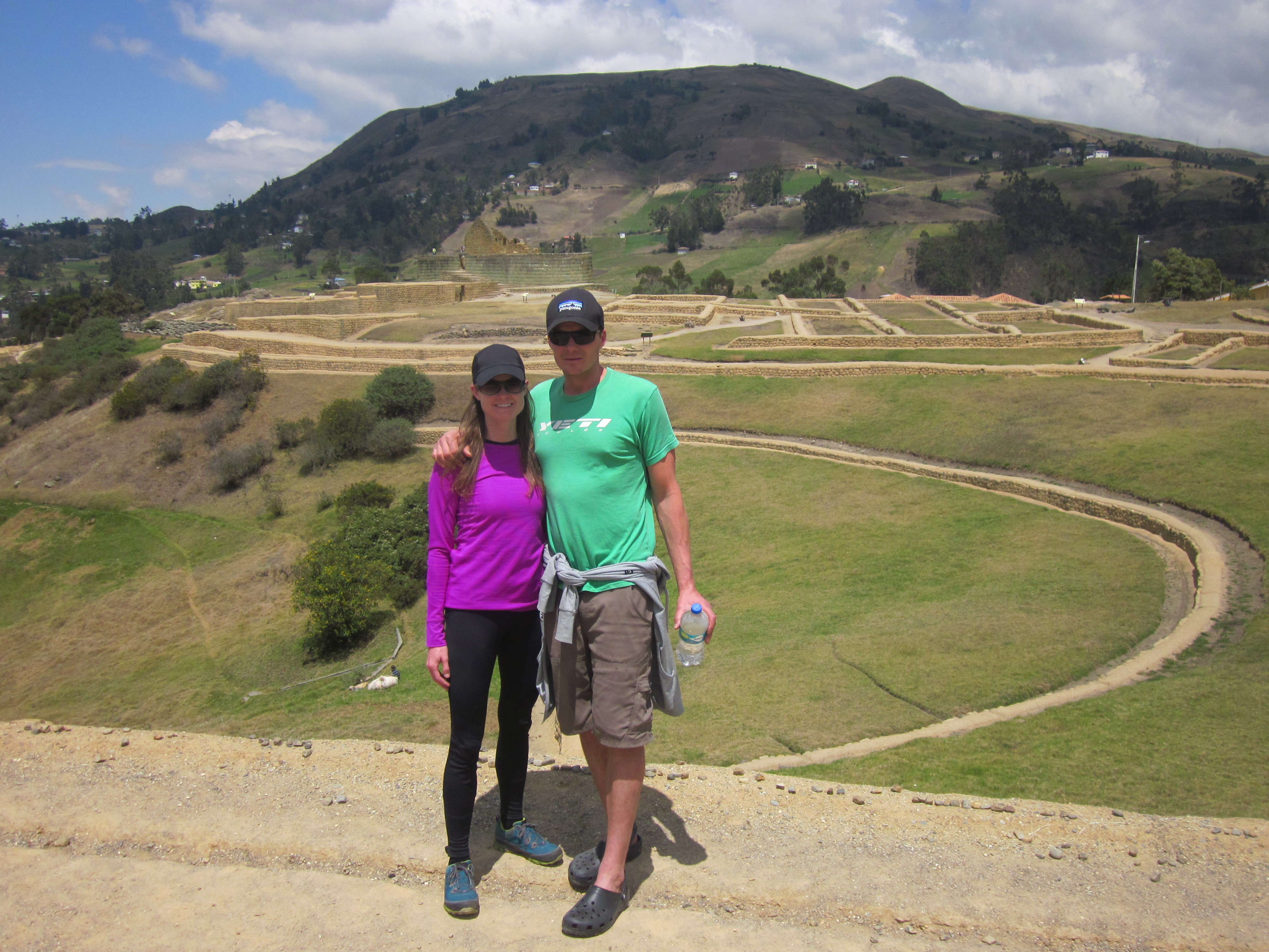
Next, we visited the ruins. Ingapirca means “Inca Wall”. The Inca’s over took it from the local Canari tribe.

Ingapirca ruins

there were a bunch of local school groups touring the site this day
Ingapirca was excavated in the 1970’s to 1990’s. A big farm was on top of it for many years before the ruins were discovered and unburied. In 1966, it was declared a cultural site by the government, and at that time, they started recovering 400 large stones that had been taken from the site and were at various farms in the area.
The location of the ruins was chosen because it sits in a pristine valley, surrounded by mountains used as watch towers to protect the area.
the restored Inca Trail within the ruins
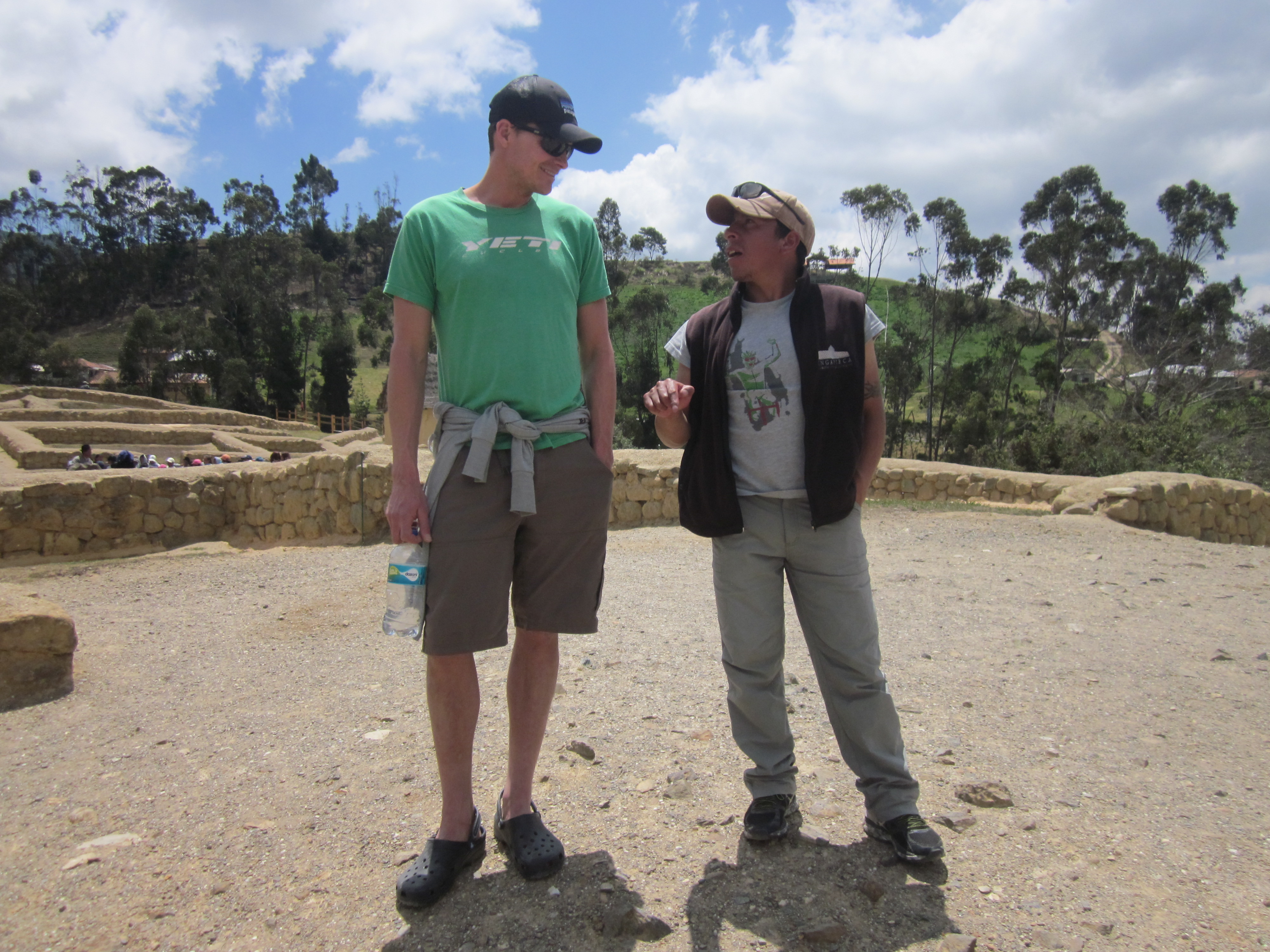
jay and segundo
The structures were built based on three principles: symmetry, security, and solitude. Segundo said the people live by 3 main principles: don’t be lazy, don’t lie, don’t steal. Sounds reasonable.
The focal point of the ruins is the Temple of the Sun. The structure was built so that the sun would shine onto the different openings of the structure at the different times of year (based on the lunar calendar). On June 21, the sun shines directly into the middle of the temple and on that day they would have a big festival.

the round structure is the temple of the sun
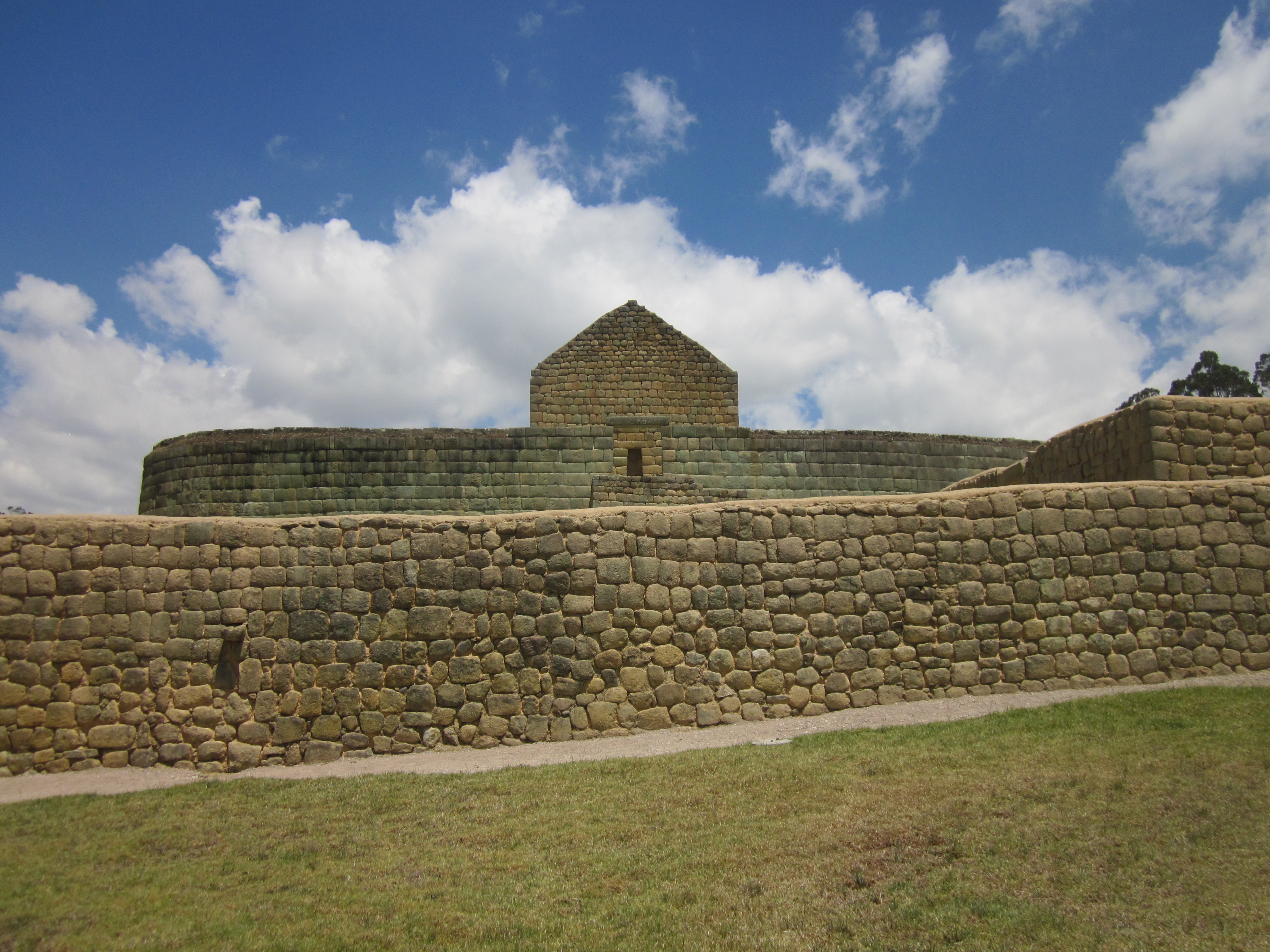
approaching the temple of the sun

temple of the sun
We really enjoyed our time in Ingapirca! We are glad we decided to hire Segundo as our guide and would recommend him. You can find him on Facebook “Inca Trekking Ingapirca Sflores”. If we are ever back this way, I want to do the entire 3-day trek from Achupallas to Ingapirca!
Ingapirca

Oh, my Joann, this day was totally awesome for you guys. This blog today had me in tears. Brought back memories of Terry and me Machu Picha (sp?) In 2014′ You definitely need to travel to Peru in the future. So glad you are doing this trip to Ecuador. Keep the hikes coming. Love you guys.
Another interesting trip – so glad you found a good guide – the scenery is beautiful =- Love, Grandma
So interesting & insightful!! Great principles over their lives & structures! Must be so amazing to be in & walk along in such an historical place and image all those that have been there before you…
**imagine** (image too) ha, ha…
Looks as if I missed a lot in just a couple of days. You are covering a lot of ground (what’s new with that!? LOL). The countryside is not at all what I imagined it would be having only seen photos of urban areas shared in the past from others. What has the temperature/humidity been like during your visit this time of year?